Getting around Los Angeles is a unique challenge due to the city’s sheer size and its historically heavy reliance on the automobile. For visitors, navigating the city requires a strategic approach, often utilizing a mix of public transit, ride-sharing, and limited driving. While the public transit system is undergoing significant expansion, most tourists will need to use a combination of methods to reach LA’s vast array of attractions. Understanding these options is the key to minimizing travel stress and maximizing sightseeing time.
The LA Metro Rail and Bus System
The LA Metro system, managed by the Los Angeles County Metropolitan Transportation Authority (Metro), provides a cost-effective alternative to driving, especially for travel between centralized neighborhoods.
Metro Rail Lines and TAP Card Access
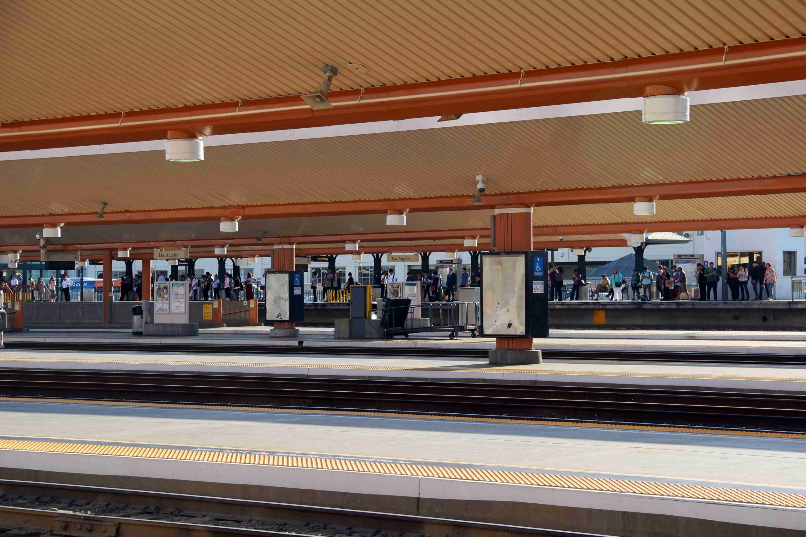
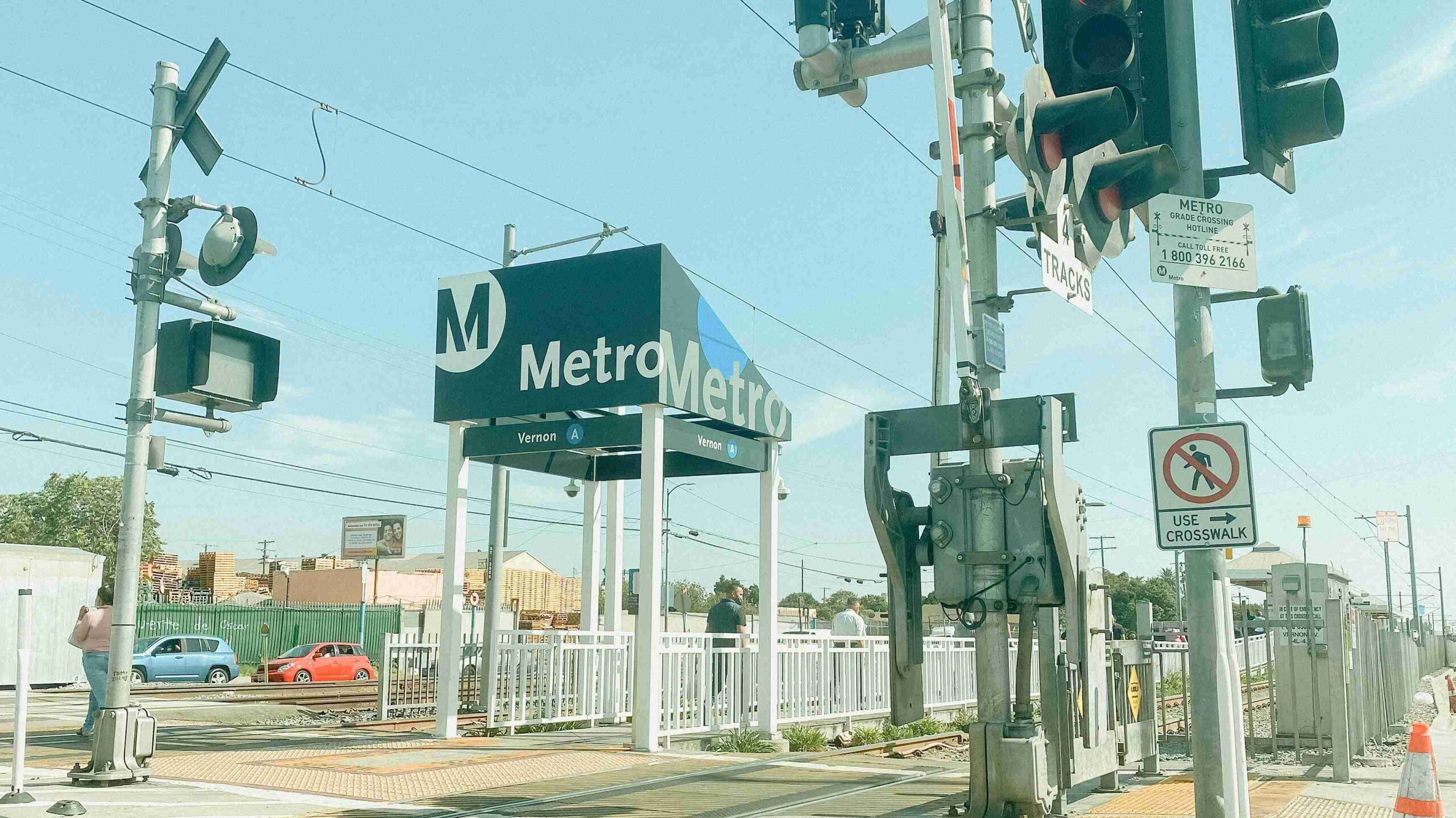
The LA Metro Rail system consists of six color-coded lines (A, B, C, D, E, and K) that connect key metropolitan areas, including Downtown LA, Hollywood, Long Beach, and Santa Monica. To ride, you must purchase a reusable TAP card at any station vending machine or approved vendor. This card is essential for all Metro services; you must tap your card before boarding the train or bus to validate your fare. While the rail is efficient for travel along specific corridors, it does not yet reach all attractions directly, which is where the bus network becomes essential.
The Extensive Metro Bus Network
Metro also operates a vast network of buses that provide crucial supplemental travel, filling the gaps between rail stations and connecting travelers to destinations off the rail lines. Using a real-time tracking app is highly recommended for bus travel. All Metro Bus routes accept the same TAP card used for rail, enabling seamless transfers and integration across the entire public transit system.
Driving, Traffic, and Parking
Driving offers the most flexibility for exploring the entire LA region but requires patience and awareness of the city’s unique traffic patterns.
Navigating LA Traffic
Driving offers the most direct flexibility, but travelers must be prepared for the reality of heavy Los Angeles traffic, particularly during peak rush hours (typically mornings and late afternoons). Utilizing real-time GPS and traffic apps is essential for navigating around common choke points and estimating accurate travel times. Remember to factor in substantial buffer time between destinations, as even a seemingly short drive can take an hour during severe gridlock.
Parking Challenges
Parking is often expensive and scarce in popular, dense areas like Beverly Hills, Hollywood, and near downtown venues. Always budget for parking costs and look for lots or garages rather than relying on street parking, which is often heavily restricted and confusing.

Ride-Sharing and Taxis
For convenience, direct routing, and late-night travel, ride-sharing services are often the preferred choice for visitors.
Convenience of Ride-Share Services
Ride-sharing services like Uber and Lyft are extremely popular and often the most convenient and fastest way for visitors to travel door-to-door, particularly for shorter, unplanned trips or getting home late at night after dinner or entertainment. Designated pickup and drop-off zones are standard and clearly marked at airports (like LAX) and large entertainment venues.
Traditional Taxis
Traditional taxis are also available throughout the city. They are easily found and hailed at major hotel fronts, transportation hubs (like Union Station), and outside the baggage claim at LAX, providing a reliable alternative to app-based services.